Neighborhoods
Pasadena Neighborhoods
Pasadena is a city of distinct districts, each shaped by its architecture, geography, history and commercial streets. These guides describe what each area is like, what is nearby and which local businesses serve it.
All districts
10 Pasadena neighborhoods

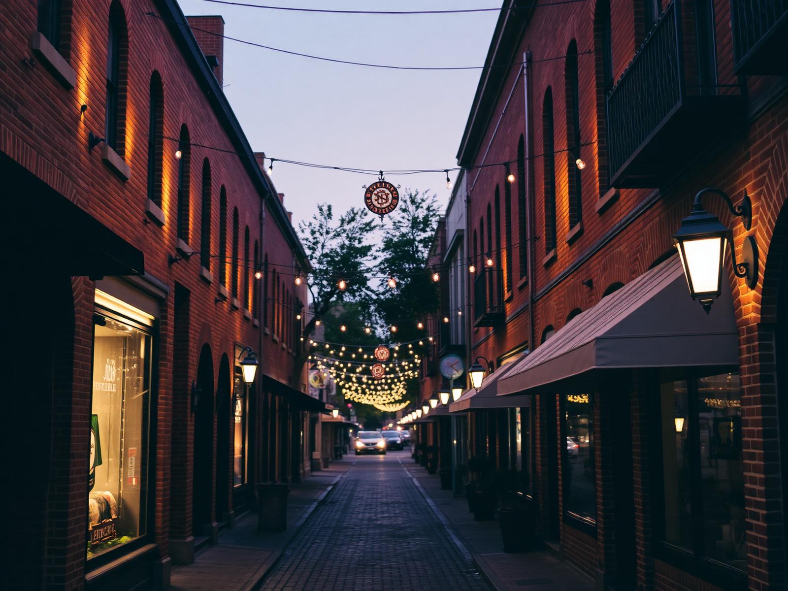
Old Pasadena
The city's 19th-century commercial core, now its busiest walking district.
Explore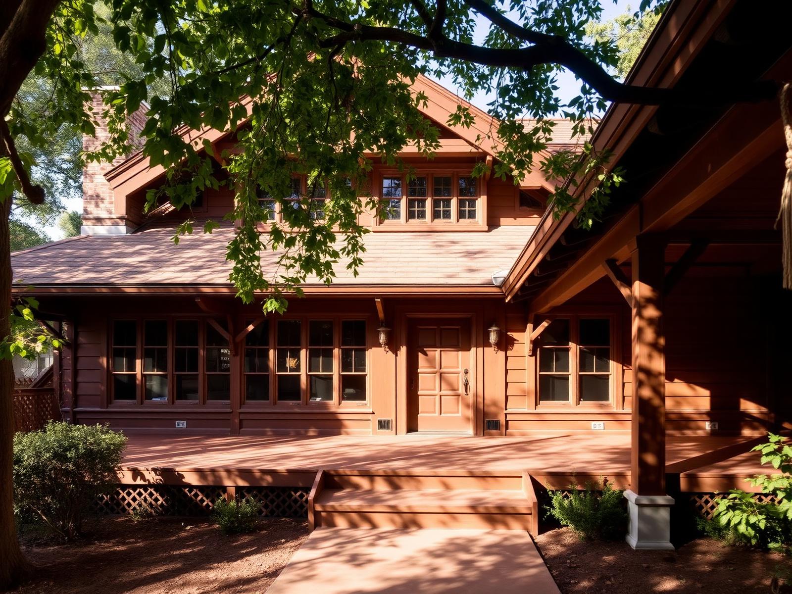
Bungalow Heaven
Roughly sixteen blocks of early-1900s Craftsman bungalows.
ExploreMadison Heights
Broad lots and mixed period revival architecture south of downtown.
Explore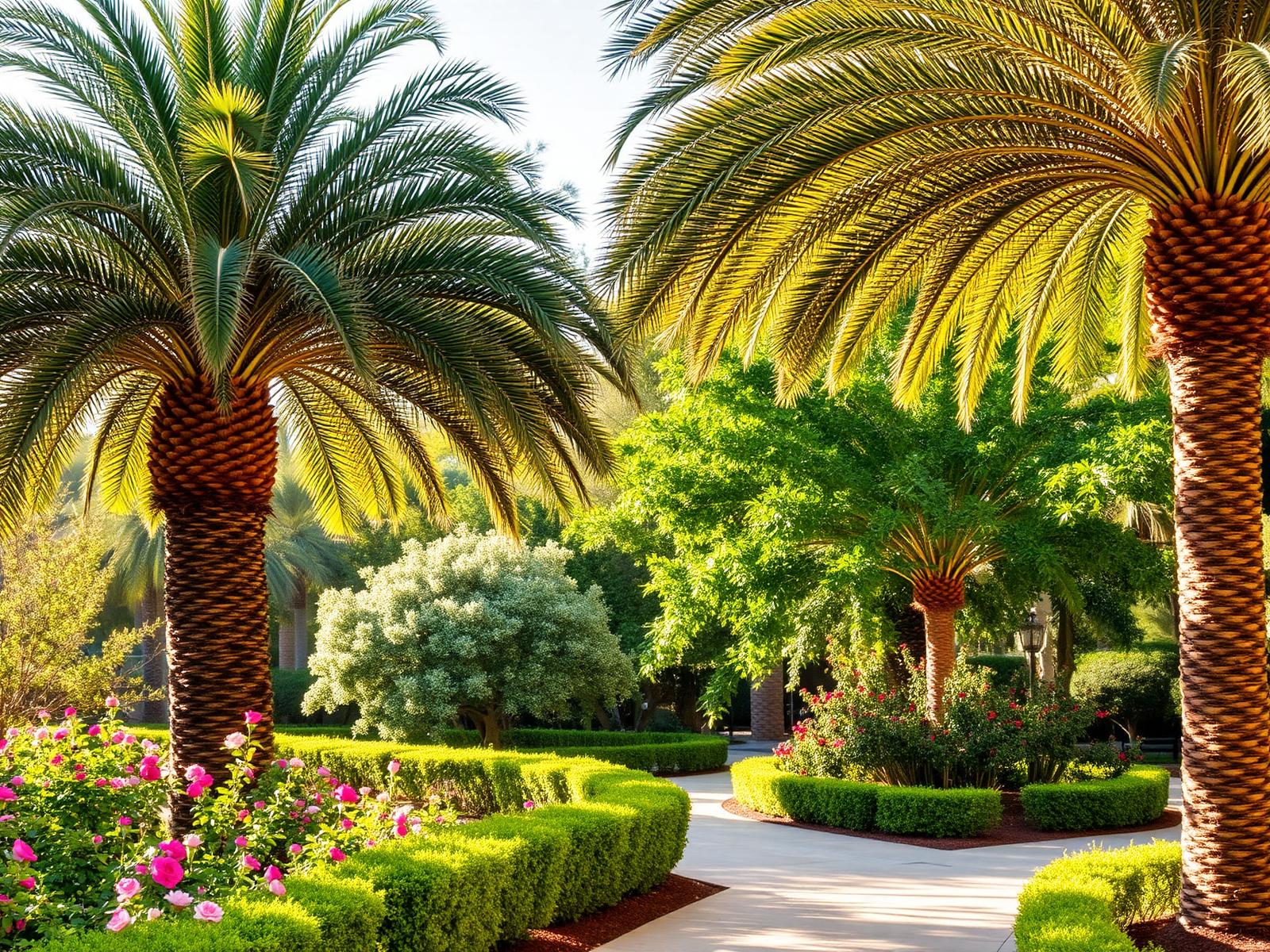
South Arroyo
Hillside streets above the Arroyo Seco, adjacent to the Gamble House.
Explore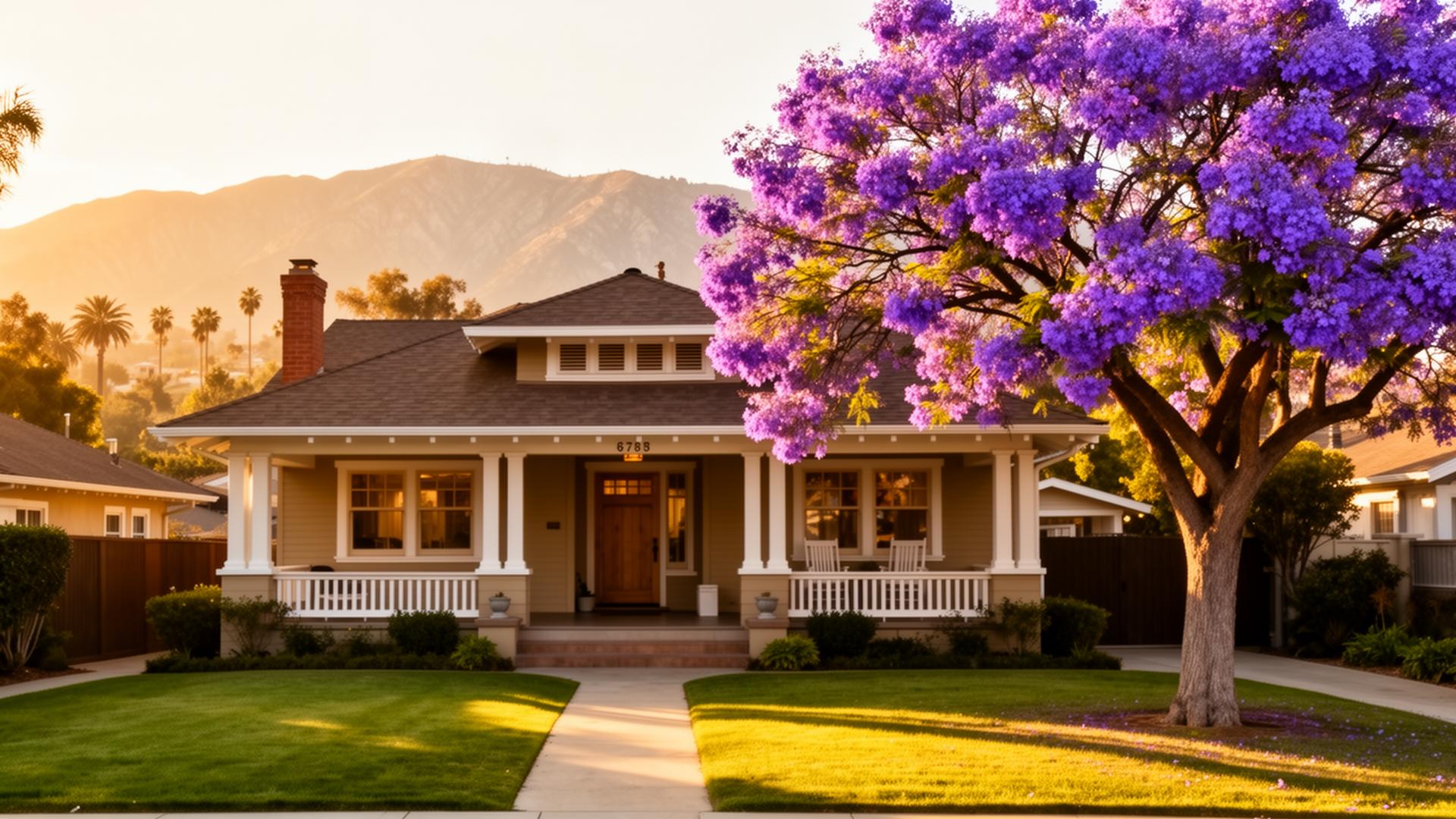
San Rafael
Curving hillside roads on the west side of the Arroyo Seco.
ExploreLinda Vista
Low-density hillside streets north of the Rose Bowl.
ExploreHastings Ranch
Post-war ranch homes below the Eaton Canyon foothills.
ExploreOak Knoll
Estate lots and period revival architecture in south Pasadena city limits.
Explore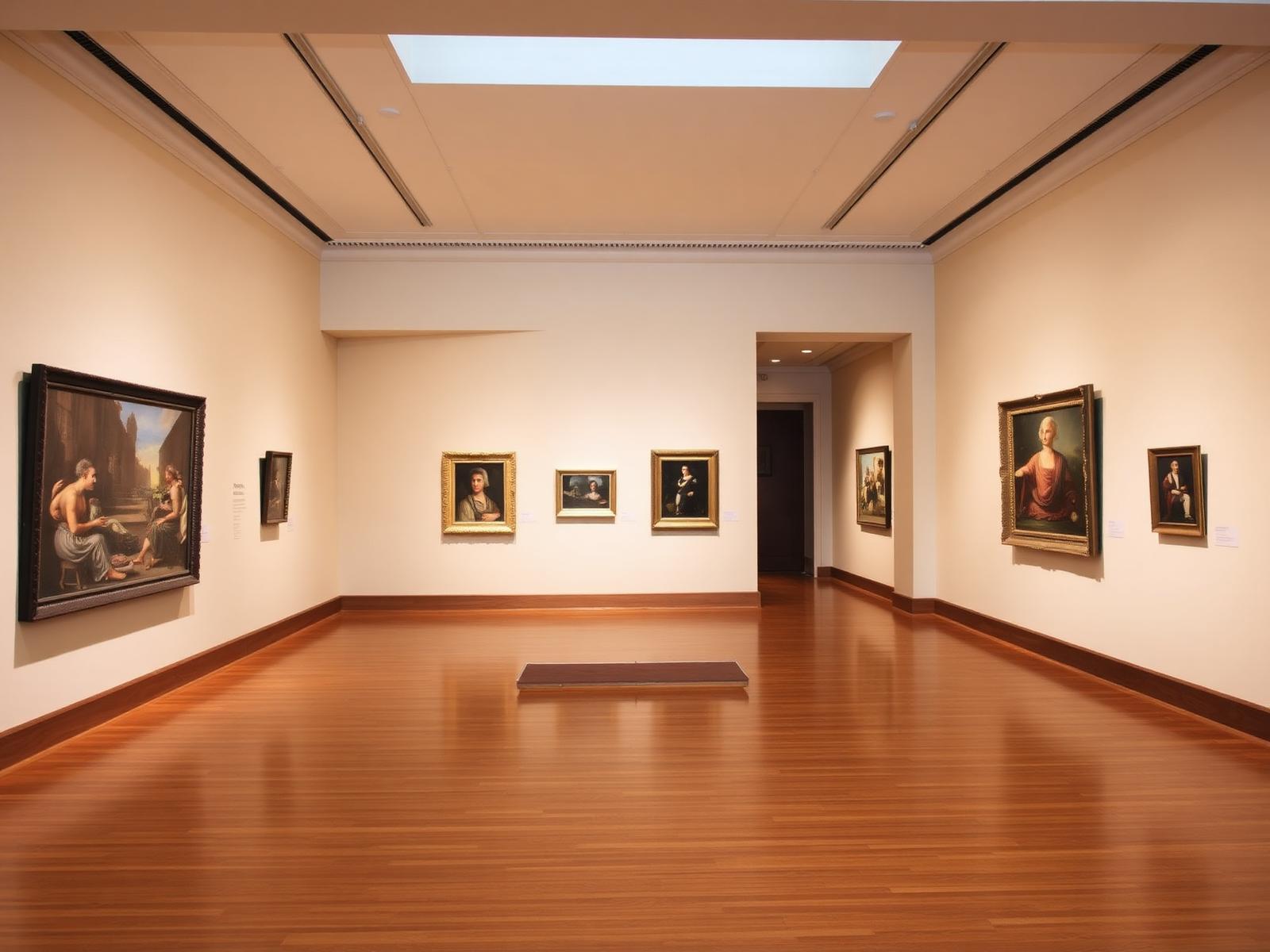
Playhouse Village
The theatre district between downtown and South Lake.
Explore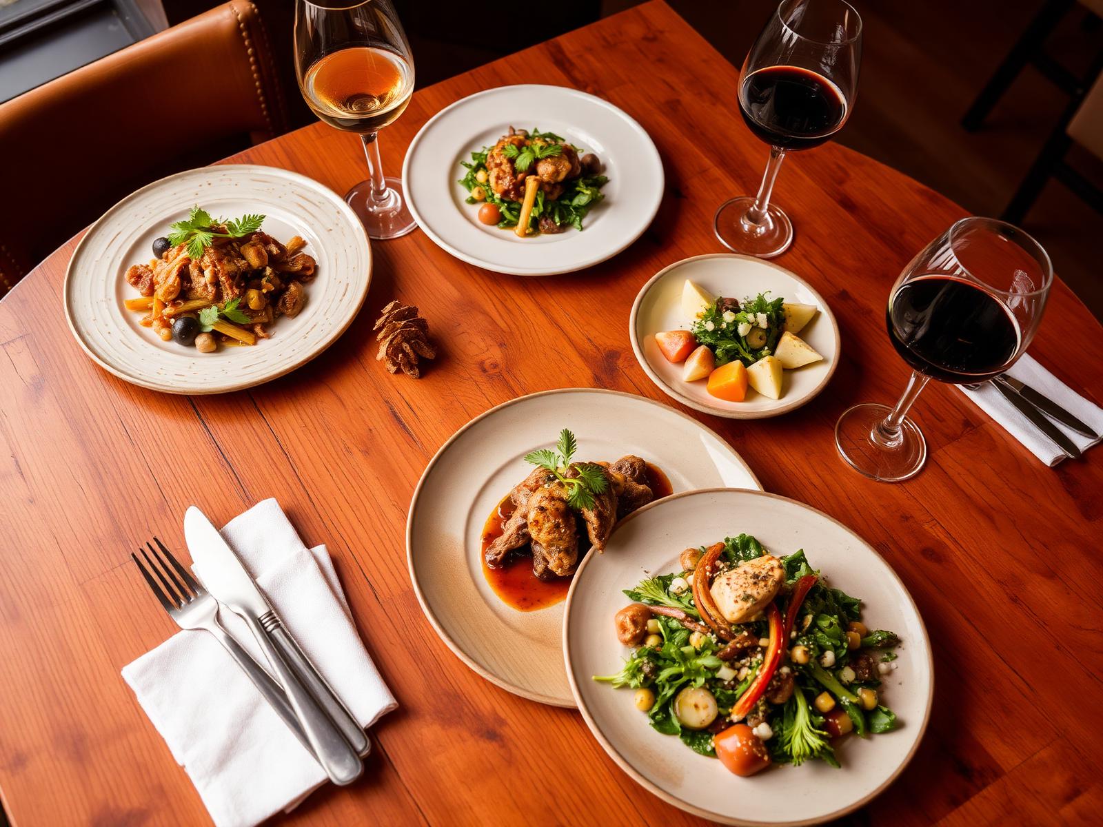
South Lake
Pasadena's mid-century shopping avenue.
ExploreOrientation
How Pasadena fits together
The city sits at the base of the San Gabriel Mountains, bounded on the west by the Arroyo Seco and on the south by the San Rafael hills and the border with San Marino. Colorado Boulevard runs east to west through the center and remains the city's main commercial spine.
West of Lake Avenue the street grid is flat and dense, with the historic commercial core, the civic center and the museum district clustered within walking distance of one another. East and north of that, the grid loosens into residential districts of Craftsman bungalows, Spanish Colonial Revival houses and mid-century infill.
Neighborhood boundaries in Pasadena are informal in places — landmark districts, homeowner associations and historic designations all draw slightly different lines. These guides use the boundaries residents commonly recognize.
Pasadena neighborhood map
An interactive district map is in progress.
Pasadena Weekly
Pasadena, in your inbox.
Local events, restaurants, neighborhood stories, real estate and things worth knowing about Pasadena.