Street guide
Mesita Rd
2 designated historic properties line Mesita Rd — a block-by-block look at what survives, who built it and which landmark districts the street runs through.
Walking it
What to look for on Mesita Rd
Mesita Rd runs through Pasadena as 1 mapped segment, roughly 0.15 miles end to end. The historic record below is drawn straight from the City of Pasadena's designated properties dataset, matched to the street centerline within 60 metres.
Designations cluster into Individually listed (2). Landmark districts mean the streetscape — setbacks, porches, street trees, rooflines — is protected as a whole, not just individual houses.
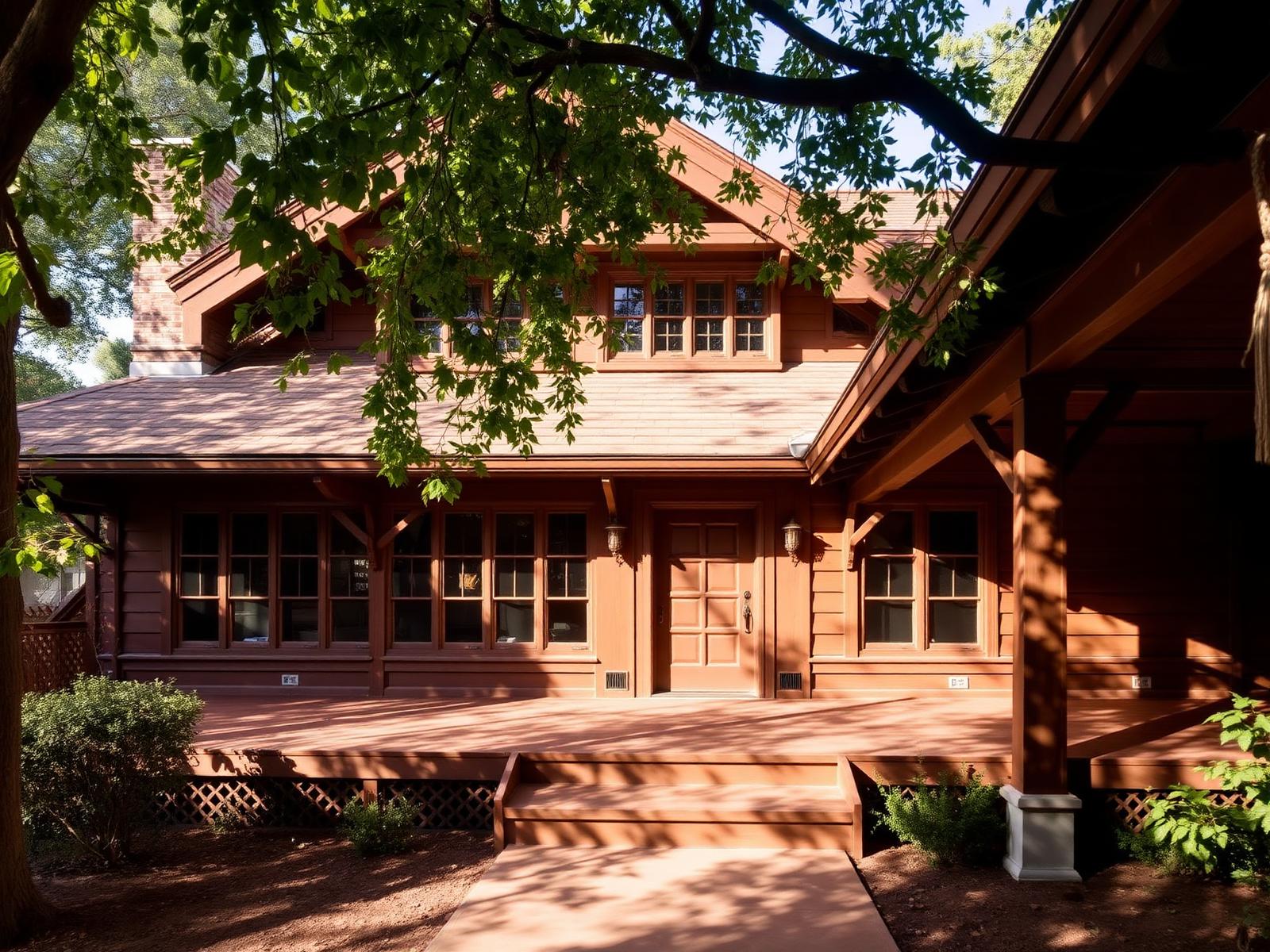
Walk it slowly. Pasadena's designated blocks reward attention: Craftsman sleeping porches, Spanish Colonial Revival tile, and the occasional Mid-century infill that the city decided was worth keeping.
The register
Historic properties along Mesita Rd
Filter by designation or district, sort the block, or set a reference point to walk outward from. The map and list stay in sync.
Showing 2 of 2 properties on Mesita Rd
- Historic resources (2)
Historic resources: 1125 Mesita Rd, 1220 Wynn Rd
- 1125 Mesita Rd
Cultural Heritage Landmark
34 m from centerline
- 1220 Wynn Rd
Cultural Heritage Landmark
56 m from centerline
Keep exploring
Around Mesita Rd
Related guides and properties within walking distance — follow the block into the next one.