Neighborhood Guide
Old Pasadena
Pasadena's original downtown: a National Register historic district of brick storefronts, mid-block alleys and courtyards, still the busiest walking blocks in the San Gabriel Valley.
Overview
Why Old Pasadena matters
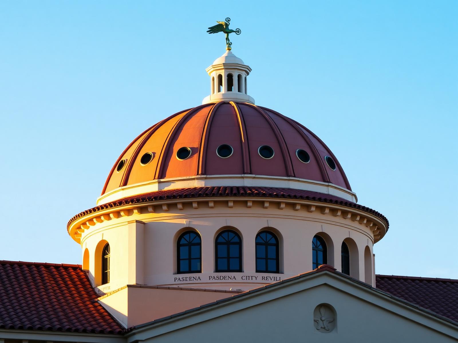
Old Pasadena is the city's nineteenth-century commercial core — the blocks that were downtown before downtown moved east. What makes it unusual is not any single building but the continuity: block after block of intact commercial frontage, connected by alleys and courtyards that let you cross the district without touching Colorado Boulevard.
It is a National Register of Historic Places district, and the City of Pasadena's published Historic Properties dataset tags 358 designated parcels here with the OLD PASADENA district value. Every property module on this page is read from those City records, live.
PasadenaCalifornia.com is an independent publication and is not affiliated with the City of Pasadena or the Old Pasadena Management District. City-sourced facts are labelled below; routes, picks and commentary are ours.
History
How the district survived
Preservation context, kept to what the record supports.
The commercial blocks went up as Pasadena built out around the turn of the twentieth century. When retail gravity shifted east along Colorado in the mid-century, the old core lost its tenants — and, crucially, was never comprehensively cleared. The building stock stayed standing while it went out of fashion.
The rehabilitation that followed treated the surviving fabric as the asset. That is why the district today reads as continuous frontage rather than a handful of preserved landmarks in a redeveloped setting, and why so many individual parcels appear in the City's designated-property register.
What we can verify
- Designation status. Each property below carries a designation value published by the City — National Register district, landmark, historic sign, and so on.
- Location. Parcel geometry and centroid coordinates come from the same City dataset.
- Not in the data. Architect, architectural style and construction year are not populated for Old Pasadena records, so this page does not assert them for individual buildings.
Architecture
Designated properties, mapped
Every point is a parcel the City has designated inside the Old Pasadena district. This frames the records; it is not an official boundary.
100 of 358 designated records mapped. Basemap © OpenStreetMap contributors & CARTO. Property records: City of Pasadena Historic Properties open data.
A sample of the register
Eighteen of 358 designated records, alphabetical by address.
- 1 E Colorado BlvdNational Register District
- 1 E Union StNational Register District
- 1 S Fair Oaks AveNational Register District
- 10 E Colorado BlvdMultiple
- 10 E Dayton StNational Register District
- 101 E Green StNational Register District
- 101 S Fair Oaks AveNational Register District
- 101 W Green StNational Register District
- 103 E Colorado BlvdNational Register District
- 103 W Colorado BlvdNational Register District
- 105 S Fair Oaks AveNational Register District
- 106 W Colorado BlvdMultiple
- 108 W Colorado BlvdNational Register District
- 110 E Holly StNational Register District
- 111 W Green StNational Register District
- 112 S De Lacey AveNational Register District
- 112 W Colorado BlvdNational Register District
- 114 W Union StNational Register District
Streets
Colorado Boulevard and the district grid
Reviewed corridor records and the canonical street centrelines closest to the district.
Colorado Boulevard
Pasadena's main east-west spine, the Rose Parade route and the commercial heart of Old Pasadena.
Curated from canonical street records: E COLORADO BLVD, W COLORADO BLVD, COLORADO BLVD.
Streets closest to the district
- Edwin Aly16 designated
- Mills Pl22 designated
- W Colorado Blvd50 designated
- Douglas Aly12 designated
- S Fair Oaks Ave43 designated
- Mercantile Pl30 designated
- E Colorado Blvd142 designated
- N Fair Oaks Ave22 designated
Our route
A self-guided afternoon
An editorial suggestion from PasadenaCalifornia.com — not a City-published tour.
- Stop 1
Start: Memorial Park
Metro A Line drops you at the district's north edge. Walk south on Raymond and the storefront rhythm starts immediately.
- Stop 2
Colorado Boulevard, Fair Oaks to De Lacey
The densest run of designated frontage in the district. Look above the ground-floor tenants — the upper storeys are where the original brickwork and cornices survive.
- Stop 3
The alleys
Mercantile Place, Mills Place and the passages behind Colorado connect the boulevard to Union Street. They are the reason the district reads as a fabric rather than a strip.
- Stop 4
Union Street back east
Quieter, more coffee than retail, and it returns you toward Arroyo Parkway without repeating the same block.
- Stop 5
Finish: Del Mar station
The southern A Line stop, so the loop closes on transit at both ends.
Things to do
In and around the district
Food, drink + shopping
Listings in Old Pasadena
Directory listings we have not yet confirmed with the owners — no hours, prices or ratings are published until we can verify them.
Restaurants
PremiumUnion Street Kitchen
Old Pasadena
Sample listing for a seasonal Californian counter-and-dining-room restaurant in the Union Street corridor.
Restaurants
Arroyo Tortillería
Old Pasadena
Sample listing for a masa-forward counter kitchen making tortillas in house.
Coffee + Cafes
PremiumOld Pasadena Coffee Roasters
Old Pasadena
A sample listing for a small-batch roaster and espresso bar in the alleys off Colorado Boulevard, with counter seating and a courtyard patio.
Fitness
Arroyo Seco Fitness
Old Pasadena
Sample listing for a training studio with small-group classes and Rose Bowl loop run clubs.
Getting there
Transit and parking
Metro
The A Line's Memorial Park and Del Mar stations sit at the north and south ends of the district, which is why the walking route below starts at one and finishes at the other. Check Metro for current service before you travel.
Parking
Public structures serve the district alongside metered street parking. We do not publish rates or validation rules here — they change, and we have no verified live feed for them yet. Check posted signage or the operator on the day.
Read next
Related guides
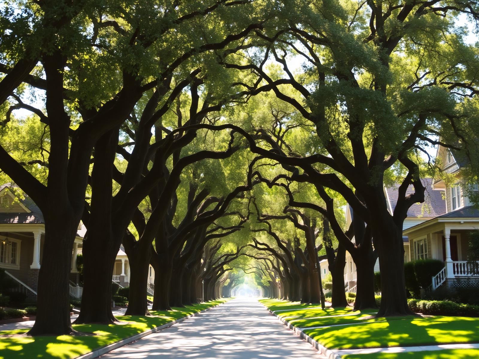
Things To Do · 8 min read
A Weekend in Pasadena
How to spend forty-eight hours in Pasadena without spending them in the car.
Food · 6 min read
Where to Drink Coffee in Pasadena
A district-by-district look at the city's coffee, from Old Pasadena alleys to South Lake.
Neighborhoods · 9 min read
Guide to Old Pasadena
How the historic district is laid out, where to park once, and what the courtyards connect.
Events
Recurring in the district
Each New Year's Day (moves to January 2 when the 1st falls on a Sunday)
Tournament of Roses Parade
Colorado Boulevard parade route
Summer season, most weekends
Levitt Pavilion Summer Concerts
Levitt Pavilion, Memorial Park
Weekly, various days and locations
Pasadena Farmers Markets
Multiple Pasadena locations
Old Pasadena, answered
- Is Old Pasadena a real historic district?
- Yes. Old Pasadena is a National Register of Historic Places district, and the City of Pasadena's Historic Properties dataset tags hundreds of individual parcels inside it with the OLD PASADENA district designation. This site reports those City records; it is not a City of Pasadena publication.
- How many designated historic properties are in Old Pasadena?
- The City's published dataset currently carries several hundred designated records with the OLD PASADENA district value. The exact count on this page is read live from that data, so it moves when the City republishes.
- Where does Old Pasadena begin and end?
- The City's open data does not publish an Old Pasadena boundary polygon — only a footprint for each designated property. Descriptions of the district's extent on this page reflect the spread of those records, roughly Colorado Boulevard and the blocks either side of it between Pasadena Avenue and Arroyo Parkway.
- Can you walk Old Pasadena in an afternoon?
- Comfortably. The designated properties cluster within about a kilometre of one another, and the suggested route on this page covers the densest stretch of Colorado Boulevard plus the parallel blocks on Union and Green.
- Is this the official Old Pasadena map?
- No. PasadenaCalifornia.com is an independent publication. The property records and street centrelines come from City of Pasadena open data; the routes, picks and commentary are ours.
Sources. Designated property records, district values and parcel geometry: City of Pasadena Historic Properties open data. Street centrelines: City of Pasadena Streets open data. Basemap: OpenStreetMap contributors and CARTO. Photography on this page is illustrative, not documentary.
Pasadena Weekly
Pasadena, in your inbox.
Local events, restaurants, neighborhood stories, real estate and things worth knowing about Pasadena.